2016-03-11
Geotechnics
Tunnels and underground constructions
- General contractor: ADIM Ouest
- Client: GTM Ouest
- Project Management: INGEROP/ANTEA GROUP/ENET DOLOWY
- Assignment: G2 & G4
- Total cost of work: €66k excluding tax
- Completion date: since 2013
PROJECT DESCRIPTION AND CHARACTERISTICS
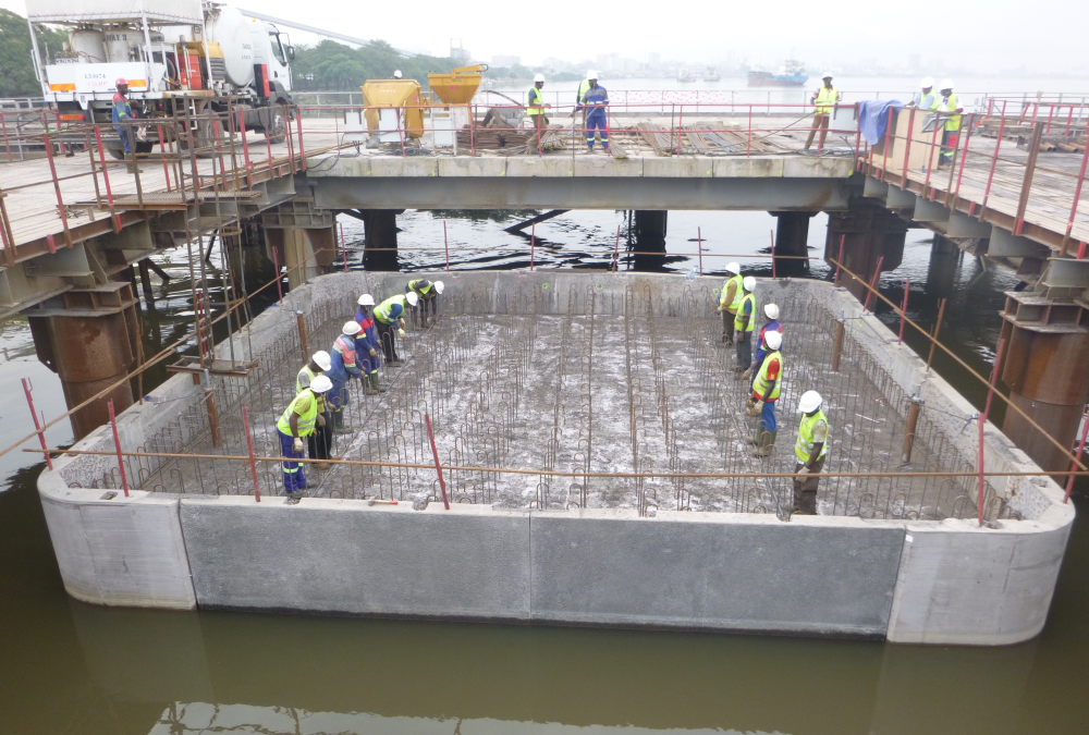
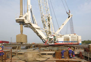
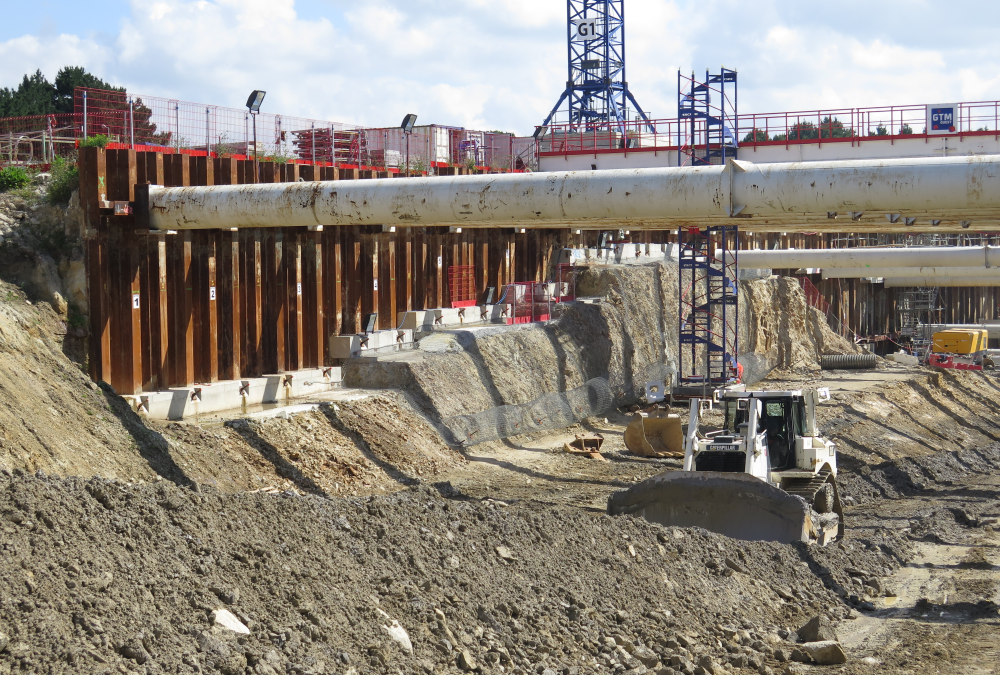
The study carried out by GEOS Ingénieurs Conseils enters into the project of building a tunnel under the river Vannes, at the site known as Kérino, replacing the existing mobile bridge.
This route includes the construction of a 250m sub-fluvial cut-and-cover tunnel and two access hoppers.
ASSIGNMENT
GEOS Ingénieurs Conseils conducted the G2 project studies and geotechnical implementation supervision G4, within the meaning of standard NF P 94-500.
These studies particularly addressed the following points:
- Complementary geotechnical investigations,
- Note on general geotechnical assumptions,
- Analysis of slope stability for access hoppers,
- Evaluation of pumping flows both in the works and final phase,
- Evaluation of modules of vertical reaction,
- Supervision of the cofferdams’ Execution Studies.
2016-03-10
Geotechnics
Tunnels and underground constructions
- Client: Local Group Coopération Transfrontalière (G.L.C.T.)
- Assignment: Complete project management (AVP, PRO, ACT, VISA, DET, AOR)
- Total cost of work: € 463k
- Completion date: 2006-2010
PROJECT DESCRIPTION AND CHARACTERISTICS
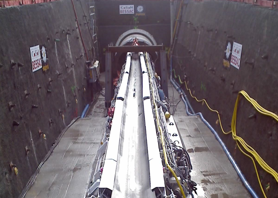
The project involves building a sewage disposal tunnel between St Genis Pouilly in France and Choully in Switzerland.
The project consists of:
- a 3,000m long gallery, Ø 2,500 m;
- 6 collectors Ø 1,000 to 1,500 with a cumulative length of 778m;
- 4 access wells.
ASSIGNMENT
GEOS Ingénieurs Conseils carried out the project management on behalf of the Local Group Coopération Transfrontalière (G.L.C.T.)
The studies included the following:
- geotechnical supervision of the works, tunnel cutting face description;
- all the missions of the MOP law (AVP, PRO, ACT, DCE, VISA, DET);
- AMO, Schedule management and bi-national aspects (customs, taxation, environment, social law, …).
2016-03-10
Geotechnics
- Client: AUTOROUTES DU SUD DE FRANCE
- General Contractor: INGEROP CONSEIL ET INGENIERIE
- Assignment: Geotechnical project management
- Total cost of work: AVP / PRO: €552k; VISA / DET: €434k
- Completion date: 2006-2016
PROJECT DESCRIPTION AND CHARACTERISTICS
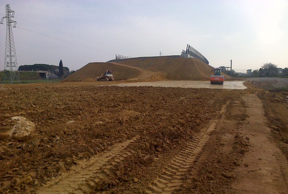
The study carried out by GEOS Ingénieurs Conseils enters into the project of moving the A9 highway to Montpellier.
This 23-kilometer-long route consists half in widening the existing highway and half in building the new line.
In terms of earthworks, the route is deficient: 3.1Mm³ of embankments for 1.2Mm³ of cuttings excavated soil.
The new route crosses, in its central part, a vast plain of alluvial spreads (Lez-Lironde, Lantissargues…) and goes along the TGV line CNM under construction in a sector of compressible land, with a great lateral variability.
The backfills, 6- to 12-meter-high, were set up in advance to minimize their interaction with the CNM project. Vertical drains have been implemented under the most sensitive technical backfills.
ASSIGNMENT
GEOS, in collaboration with INGEROP’s engineering teams, the project’s Prime Contractor, carried out the geotechnical design studies (dossier: Highway Pre-project Phase) and carried out the geotechnical monitoring of the works (VISA, DET) .
This is defined in the NFP 94-500 standard for the G1-PGC / G2-AVP / G2-PRO / G2-DCE / ACT and G4 missions. These studies particularly addressed the following points:
- Definition of the geological, geotechnical and hydrogeological context of the project,
- Drafting of geotechnical parts of APA TCFH,
- AVP and PRO: Studies of earthworks (stability, slopes, settlements) and engineering structures,
- Definition of the complementary measurements (mask in cuttings, vertical drainage and preloading of the technical blocks),
- Definition of auscultations to be implemented,
- ACT: Technical assistance to write the tendering package and to examine the tenders,
- Approval of geotechnical implementation studies, approval forms and execution procedures,
- DET: Geotechnical supervision of the engineering structures.