04 50 95 38 14 info@geos-ic.com
Sub-lake filtered water network – Prieuré, Arquebuse – Geneva – Switzerland

Sub-lake filtered water network – Prieuré, Arquebuse – Geneva – Switzerland

Dams and hydraulic Engineering (Sub-lake pipe)

  • Client: Geneva Industrial Services (GIS) – Shared Services
  • Assignment: Project management
  • Total cost of work: 16,500,000 CHF excluding VAT
  • Total cost of the assignment: 450,000 CHF excluding VAT
  • Completion date: 2009-2014

PROJECT DESCRIPTION AND CHARACTERISTICS

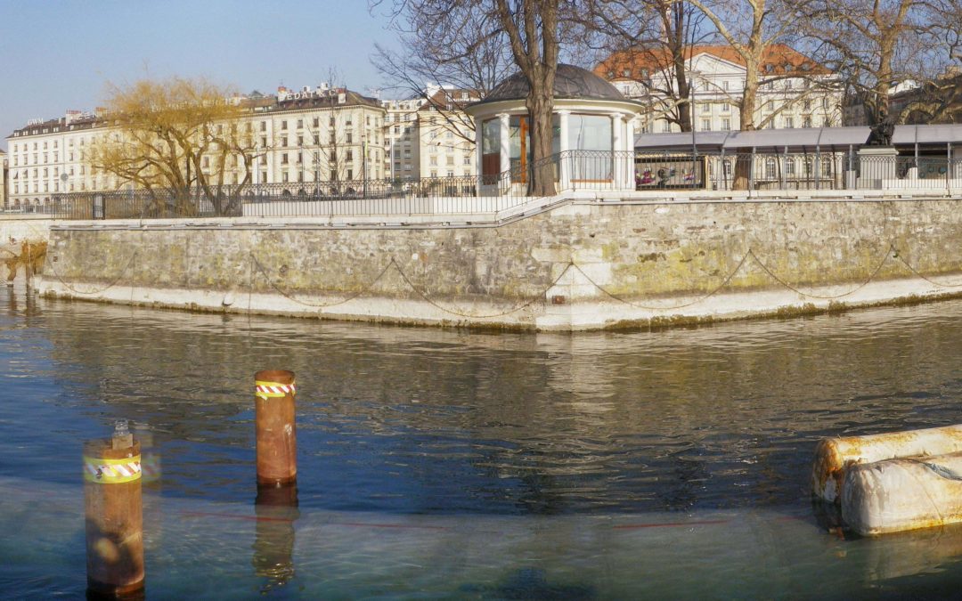
New sub-lake filtered water network DN 1500 between the Prieuré treatment station and the Arquebuse pumping station to replace the existing pipe constructed in 1953. The project consists of replacing and increasing the capacity of filtered water that connects about 60% of the population of the City of Geneva for drinking water.

The principle of conducting the pipe consisted of assembling pipe sections from a sheet-metal concrete element on the bank. The sections thus obtained were closed to maintain the volume of air and to make them floatable during the conveyance to the place of installation.

Each section was then submerged and nested under water by jacks to the section previously laid and filled with drinking water from the network. The laying operation was long. Hence, the pipe was emptied thanks to its “melting” characteristic (the pipe does not float even when filled with air) to disinfection and making it drinkable.

The main constraints of the project were:

  • Work in a lake and river environment. Since the Rhône River was used as a flow regulator for the waters of Lake Geneva, the works had to be planned and carried out in close coordination with the authorities responsible for regulating the flows of the Rhone.
  • Maintenance of the draft in the Bay of Geneva to allow navigation of the Compagnie Générale de Navigation (CGN) vessels, the recreational boaters and all water activities (fishing, water skiing).
  • Passage of the project under 7 low height bridges or passways.
  • Management of the pipe volumetry proposed by the contractor and the selected variant of construction (company variant).
  • Constraints of implementation in plan and altimetry imposed by the Services of control of the maintenance of the flow of the Rhone.
  • Management of specific site safety constraints in lake and river environments for assemblers.
  • Crossing of numerous water suction strainers of the lake and submerged cable networks.
  • Crossing the project into an area of ​​archaeological remains.


TECHNICAL CHARACTERISTICS:

  • Diameter of the pipe: DN 1,500 mm
  • Length of the replaced section: 2,400 m, of which 1,600 m are laid under lakes and 800 m in river waterways.
  • 14 installation sections
  • Components of 4.20 m, specific weight of 12 tons, ie 550 elements
  • Conduit transport rate: 2,800 l / s
  • Installation depth: 4 to 6 m
  • Supports by piles of 21m in wood and of adjustable heights.
  • Sheet pile connecting cells to allow connection to the existing distribution network maintained in service.
  • Maintenance of the potability of the filling volume of the installed pipe, in spite of a method of laying with the advancement.


ASSIGNMENT

As a civil engineer and specialist in lacustrine works, GEOS has carried out a complete project management mission with the following services:

  • Preliminary Studies
  • Pre-Project Phase
  • Design of Works
  • Call for tenders
  • Execution Project
  • Construction management
  • Commissioning and completion.


The Conqueyrac dam (30) – France

The Conqueyrac dam (30) – France

Dams and hydraulic Engineering  (Dams and dykes)

  • Client: General Council of Gard
  • Assignment: Risk Study
  • Completion date: 2014
  • Total cost of the assignment: 20 k €

PROJECT DESCRIPTION AND CHARACTERISTICS

The Conqueyrac dam (class B) is located on the Vidourle in the commune of Conqueyrac. It belongs to the General Council of Gard. It is a rockfill dam arranged at a ladder wall (scales) with an upstream waterproofing mask in reinforced concrete on the left bank. On the right bank, it is complemented by a dam concrete plate with overflowing threshold. This dam ensures the function of clipping of the floods, during heavy downpours, so called épisodes cévenols. Its main dimensions are the following:

  • Length of the dam: 560 m
  • Height on foundation: 17 m
  • Volume stored on the PHE: 12 Million m³


ASSIGNMENT

  • Risk Study
  • Study of propagation of rupture wave
The Rouvière dam (30) – France

The Rouvière dam (30) – France

Dams and hydraulic Engineering (Dams & dykes)

  • Client: General Council of Gard
  • Assignment: Risk Study
  • Completion date: 2014-2015
  • Total cost of the assignment: 50 k €

PROJECT DESCRIPTION AND CHARACTERISTICS

The Rouvière dam (class B) is an arched-weight structure designed for flood control of Crieulon, a tributary of the left bank of the Vidourle. Its main dimensions are:

  • Length of the dam: 150 m
  • Height on foundation: 18 m
  • Plan radius of curvature: 125 m

ASSIGNMENT

  • Risk Study
  • Study of propagation of rupture wave
The Pont Rolland dam (22) – France

The Pont Rolland dam (22) – France

Dams and hydraulic Engineering  (Dams and dykes)

  • Client: DREAL Bretagne
  • Assignment: study of hazards
  • Completion date: 2014-2015
  • Total cost of the assignment: 20 k €

PROJECT DESCRIPTION AND CHARACTERISTICS

The Pont Rolland dam is located in the bay of Morieux (Côtes d’Armor) on the river “Le Gouessant” about twenty kilometers east of the town of St Brieuc. Shellfish farms are located downstream of the dam.

The main characteristics of the dam are the following:

  • Reinforced concrete vaulting dam;
  • peak length: 102.60 m;
  • height on foundation: 22,20 m (16,50 m above natural ground level);
  • 60 m spillway capable of evacuating a flow of 200 m³/s;
  • Wagon type bottom valve: capacity: 31 m³/s.

ASSIGNMENT

  • Risk Study
  • Study of propagation of rupture wave
La Lande dam (88) – France

La Lande dam (88) – France

Dams and hydraulic Engineering  (Dams and dykes)

  • Client: Commune de la Bresse
  • Operator: Municipality of Electricity of La Bresse
  • Assignment: Assistance to Project Management
  • Completion date: 2014-2018
  • Total cost of the assignment: 40 k €

PROJECT DESCRIPTION AND CHARACTERISTICS

The La Lande dam is located in the commune of La Bresse, in the department of Vosges (88). This rockfill weir with an upstream bituminous mask creates a reservoir of 660,000 cubic meters. The La Lande dam was built in 1983 to create a large water reservoir for the production of electricity. Subsequently, the reservoir was also used to feed the station’s snow cannons and to supply drinking water to the commune of Bresse. Its main dimensions are as follows:

  • Length of the dam: 80 m
  • Height on foundation: 17.50 m
  • Volume stored on the PHE: 0.7 Million m³

ASSIGNMENT

  • Risk Study;
  • Study of propagation of submersion wave and mapping of flooded areas in the event of dam failure;
  • Update of hydrological and drainage studies;
  • Written Instructions;
  • Auscultation Reports;
  • Monitoring Reports.